


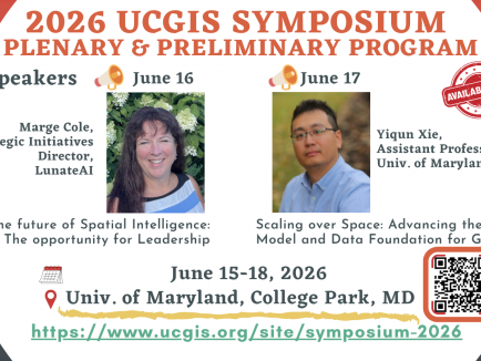


News & Events

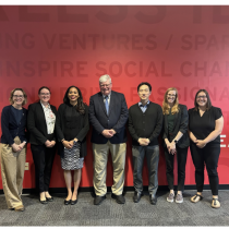
MS Program Holds Fall 2025 Capstone Symposium Events Showcasing Student Learning
GIS and GEOINT graduates gathered to spotlight projects ranging from spatial analysis to geospatial intelligence.
MS Program Holds Fall 2025 Capstone Symposium Events Showcasing Student Learning - Read more
Kathleen Stewart concludes term as a 2025 UMD Research Impact Fellow
During the 2024-2025 academic year, Prof. Kathleen Stewart participated as a Research Impact Fellow.
Kathleen Stewart concludes term as a 2025 UMD Research Impact Fellow - Read more

CGIS Students Recognized with Departmental Awards
CGIS students were recognized for their scholarly achievements at the recent Department of Geographical Sciences Awards ceremony held on Wednesday, May 21, 2025. Image: Top Left: Yuehui Qian, Third Place in Excellence in Graduate Research [Yuehui Qian (L), Advisor: Leila de Floriani (R)].
CGIS Students Recognized with Departmental Awards - Read more
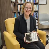
Prof. Kathleen Stewart is recognized with AAG SG Outstanding Service Award
Prof. Kathleen Stewart was awarded the 2025 American Association of Geographers (AAG) Spatial Analysis and Modeling (SAM) Specialty Group Outstanding Service Award at the AAG on March 28th.
Prof. Kathleen Stewart is recognized with AAG SG Outstanding Service Award - Read more
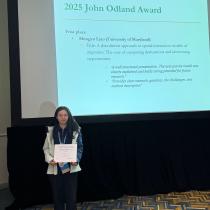
Mengyu Liao Awarded First Place in AAG Student Paper Competition
Mengyu Liao, a Ph.D. candidate under the supervision of Dr.
Mengyu Liao Awarded First Place in AAG Student Paper Competition - Read more
