The Applied Spatial Data Science Workshop Series
The Applied Spatial Data Science Workshop Series offers practical training in spatial analysis methods for social science and interdisciplinary researchers, bridging theory with real-world applications.
Come join us on this hands-on workshop for social sciences and interdisciplinary research.
Presenter: Dr. Giovanni Baiocchi
Workshop Highlights:
-
Introduction to R and Data Structures
-
Setting up R, understanding data frames.
-
-
Data Management with Tidyverse
-
Importing, cleaning, and transforming data.
-
-
Spatial Data in the Extended Tidyverse
-
Introduction to vector data (Shapefiles) and spatial data operations.
-
Visualizing spatial data.
-
Working with raster data.
-
-
Working with Census and Other Data
-
Importing and processing real-world datasets (e.g., US Census data).
-
-
Exploring Spatial Relationships
-
Analyzing spatial dependencies, autocorrelation, and spatial clusters.
-
-
Hands-on Practice
-
Participants will practice merging datasets, visualizing spatial data, and analyzing spatial patterns
-
For this workshop, participants will need to have installed R, RStudio, and the necessary packages on their laptops. Please download and install the latest version of R (from the R Project website) and RStudio.
https://cran.r-project.org/
https://posit.co/download/rstudio-desktop/
After installation, use the following command in RStudio to install the following packages that we will use:
install.packages(c("tidyverse", "sf", "tmap", "terra", "readr", "sp", "dplyr", "tidycensus", "tigris"))
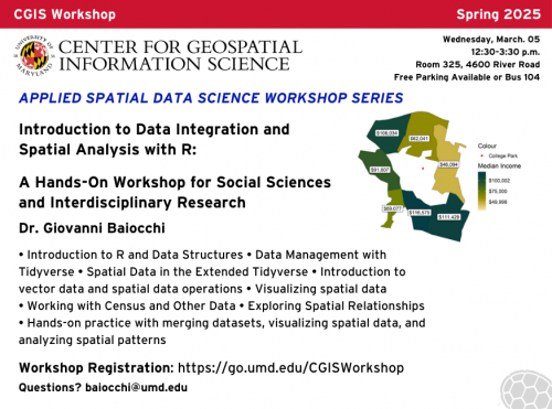
Date: Wednesday, March. 05
Time: 12:30 PM - 3:30 PM
In-Person Location: Room 325, 4600 River Road
-
Free parking available or take Bus 104
Contact:
For any questions, please email: baiocchi [at] umd.edu