-
New NSF Rapid Award for CGIS Researchers
-
CGIS COVID-19 Map Featured in UMD's #ShellsUnited Video

-
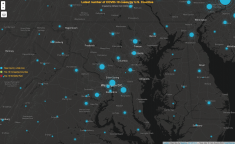
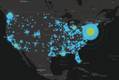
CGIS Students Create Online Maps to Track US COVID-19 Cases by County
-
Dr. Leila De Floriani Inducted Into IEEE Honor Society
-
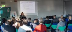
Prof. Kathleen Stewart Presented at the Location Powers Data Science Summit

-
MS-On The Map Fall 2019 Newsletter
-
Another Year with CGIS
-
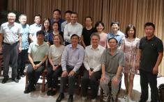
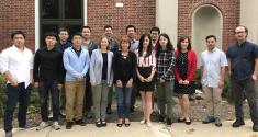
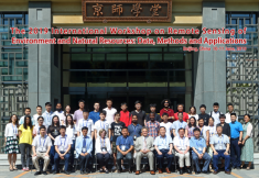
CGIS and GEOG Faculty attend International Workshop with Beijing Normal University
-
CGIS and GEOG Remote Sensing Faculty Visit Wuhan University