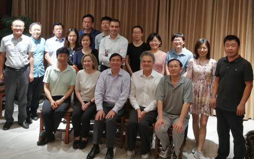
Kathleen Stewart, Chris Justice, Shunlin Liang and Mengxue Li (BSOS) visited the School of Remote Sensing and Information Engineering, Wuhan University to explore strengthened collaboration in the areas of geographic information science and remote sensing. The visit was hosted by Professor Gong (Dean of School of Remote Sensing and Information Engineering) and facilitated by the Office of International Affairs of Wuhan University and included a tour of their research facilities. Geographical Sciences has a long-standing relationship with the State Key Laboratory of Information Engineering in Surveying, Mapping and Remote Sensing (LIESMARS) at Wuhan University initiated by Dr. John Townshend (former GEOG Chair). Invited presentations were given by Dr. Stewart and Dr. Justice. Discussion included new opportunities for cooperation in GIS and remote sensing research and in-situ ground measurement systems in support of instrument calibration and validation. Opportunities for Wuhan students to participate in our GIS Masters Program, graduate and undergraduate visits, visiting faculty and international workshops were discussed. The last evening of the visit was celebrated with a special dinner to which a number of UMD alumni currently working at Wuhan were invited, showing the strong ties between the two institutions. The delegation was joined by Dr. Miguel Roman from USRA.
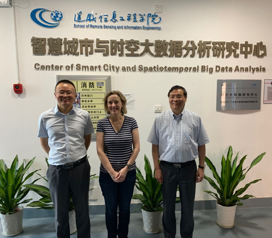
(right to left) Prof. Jianya Gong (the Dean of School of Remote Sensing and Information Engineering), Prof. Kathleen Stewart (Director Center for Geospatial Information Science, Univ. of Maryland), Prof. Peng Yue, Associate Chair Dept. of Geographic Information Engineering, Director, Institute of Geospatial Institute of Geospatial Information and Location Based Services