-
Maryland Day 2019
-
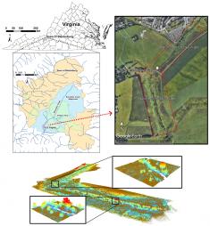
Drone Laser Scanning for Modeling Riverscape Topography and Vegetation
-
Using Big GPS Trajectory Data Analytics for Vehicle Miles Traveled Estimation
-
Determining spatial access to opioid use disorder treatment and emergency medical services in New Hampshire

-
The Graduate Certificate in Geospatial Intelligence is awarded accreditation from USGIF

-
Geospatial Intelligence (GEOINT) Programs @ UMD
-
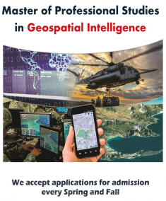
Master and Graduate Certificate in Geospatial Intelligence