-
CGIS GEOG Week Talk (2PM, 11/14): Tobin McGilligan, Carto

-
CGIS GEOG Week Talk (1PM, 11/13): Dr. Annette Hübschle

-
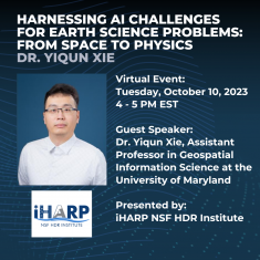
Harnessing AI Challenges for Earth Science Problems: From Space to Physics by Dr. Yiqun Xie
-
MS Program Awards Two Tuition Scholarships for 2023

-
University of Maryland Receives Special Achievement in GIS Award at 2023 Esri User Conference

-
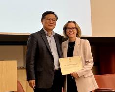
Kathleen Stewart Selected as 2023 UCGIS Fellow
-
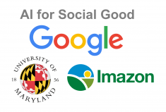
Google Award to Monitor Illegal Deforestation at Scale with New AI Techniques
-
SDM'23 Best Application Paper Award: Method Improves Prediction of Stream Baseflow using Physics-Guided Meta-Learning
-
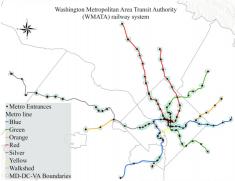
CGIS Collaborates with WMATA to Model and Predict Metro Ridership Between Stations