Geographical Science's student Caitlin Burke (BS '18, MS '20), through her work with the University Libraries' GIS and Spatial Data Center, has produced a historical Story Map of the University of Maryland campus. The map was featured in a Maryland Today article which can be read below. Congratulations Caitlin!
Article originally posted by Maryland Today.
When did the last guests check out of the Rossborough Inn? Was McKeldin Mall always crisscrossed with sidewalks? Is Taliaferro Hall really pronounced “Tolliver”?
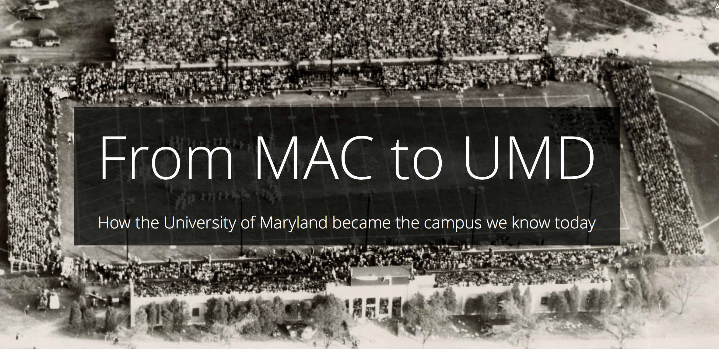
Chances are, you can find the answer scrolling through a new story map, “From MAC to UMD,” produced by University Libraries. Drawing from old maps, development plans and photos held by University Archives, it’s a flowing, online chronicle of the development of the University of Maryland campus from its modest 1856 founding as the Maryland Agricultural College up to today, when gleaming new buildings sprout up with regularity.
The map took Caitlin Burke ’18, M.S. ’20, of Libraries’ GIS and Spatial Data Center, most of the summer to construct and write, with extensive editing help from Anne Turkos, university archivist emerita, and Kendall Aughenbaugh, university archives coordinator.
“Just deciding what to include and what to leave out might have been the hardest part, because there’s so much information,” said Burke, who’s studying for a master’s in geospatial information science. She drew on her double major in geographical sciences and studio art to design the map.
Once she graduates, she plans to hand off the map to colleagues in Libraries to keep current.
“During my undergrad years, I knew very little of the university’s history,” she said. “Now when I walk around campus, I notice little architectural details, or the interesting way that things like stadiums move around over the years. That’s what I hope people get out of the map.”
Story Map: https://arcg.is/1im1Wi