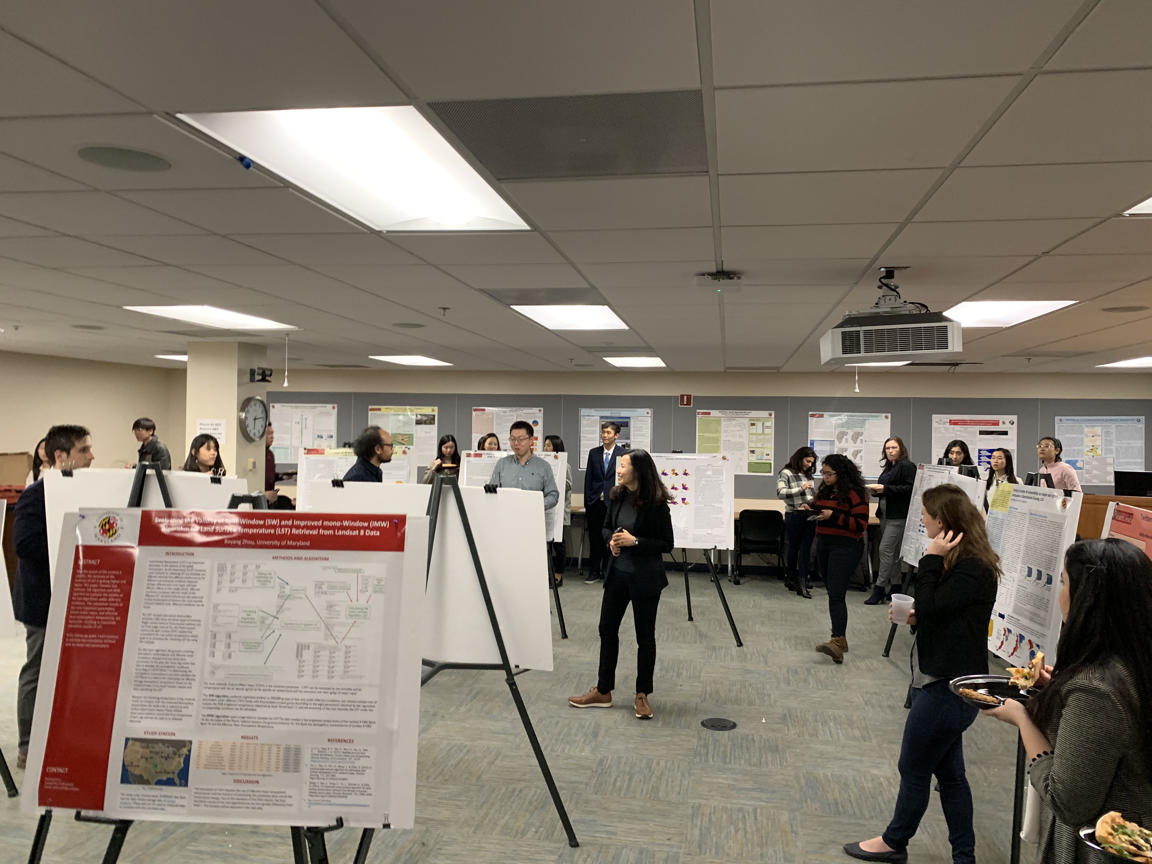
The Department of Geographical Science's Master's programs in Geospatial Information Sciences (GIS) and Geospatial Intelligence (GEOINT) held a combined poster symposium on Tuesday, November 12th in the LeFrak Hall seminar room. The symposium served as the final presentation for the Capstone class, which is the final class that Master's students complete before graduating. For their Capstone project, Master's students choose either a research-based or a design-based project, which showcases what they have learned over their many classes in spatial modeling, remote sensing, programming, web app design, geointelligence, etc. We would like to congratulate all of our Master's students for their hard work in completing their degrees!


