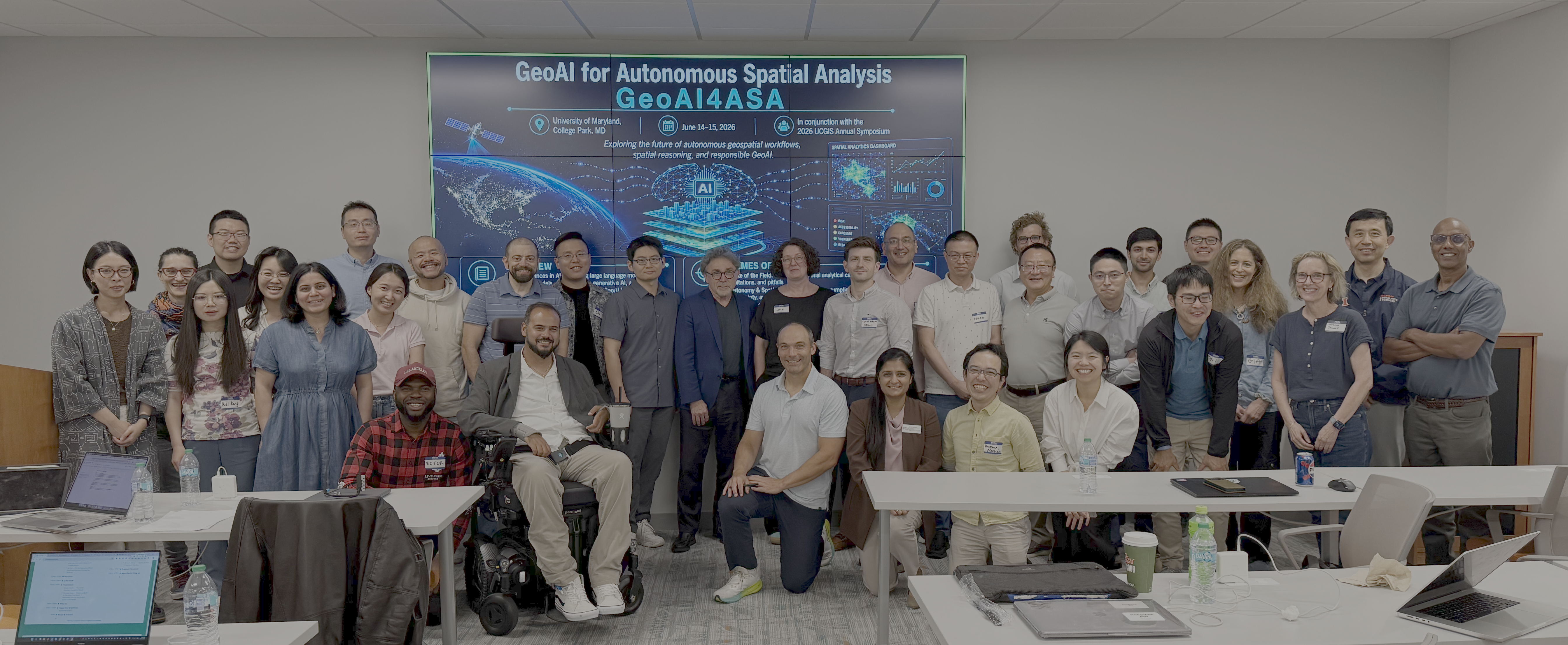
The CGIS was proud to present the Workshop on GeoAI for Autonomous Spatial Analysis. This was a two-day event held within the Department of geographical sciences at the University of Maryland’s Discovery District, and consisted of presentations, lightning talks, discussion sessions, and networking opportunities.
Participants included:
Taylor M. Oshan, University of Maryland
Yiqun Xie, University of Maryland
Daniel Aadams, Oak Ridge National Laboratory (ORNL)
Ghermay Araya, New Light Technologies
Gia Barboza-Salerno, The Ohio State University
Jessica Breen, American University
Yao-Yi Chiang, University of Minnesota
Debarchana Ghosh, University of Connecticut
Jason Gilman, Element 84
Songhua Hu, City University of Hong Kong
Devika Jain, Harvard University
Wei Kang, University of California, Riverside
Peter Kedron, University of California, Santa Barbara
Caglar Koylu, University of Iowa
Zhenlong Li, Pennsylvania State University
Ziqi Li, Florida State University
Yue Lin, University of Illinois Urbana-Champaign
Luyu Liu, Auburn University
Vanessa Frias-Martinez, University of Maryland
Wataru Morioka, Salisbury University
Arbaaz Muslim, Google
Huan Ning, Emory University
Mehak Sachdeva, Florida State University
Clinton Stipek, Oak Ridge National Laboratory (ORNL)
Shaowen Wang, University of Illinois Urbana-Champaign
John Wilson, University of Southern California
Meiliu Wu, University of Glasgow
Hongyu Zhang, University of Massachusetts Amherst
Di Zhu, University of Minnesota Twin Cities
The event was organized the following themes:
Various advances in artificial intelligence (AI), such as large language models, foundation models, deep learning, etc., have converged in recent years and are already impacting many aspects of society. As a result, a sea change of capabilities and concerns has been developing within geography and geographic information science, producing a rapidly evolving geospatial artificial intelligence (GeoAI) landscape. Examples include representation learning for spatial data, foundation models based on Earth data and population dynamics, and GIS agents, all of which are presenting opportunities and challenges across industry, academia, and government. In particular, autonomous geospatial analysis is now becoming a reality thanks to recent advances in generative AI (GenAI) and agentic design. This already includes various capabilities, such as spatial data retrieval, cartography, and various GIS workflows, with functionality becoming available within commercial products. However, it remains less clear how and whether the same level of autonomy can and should be achieved for advanced geospatial analysis and modeling. In this workshop we will take stock of what has already changed in order to understand the current GeoAI landscape, what opportunities exist for realizing fully autonomous geospatial workflows, and what long term challenges there may be.
Questions of interest included:
State of the Field
- What new geospatial analytical capabilities has AI unlocked?
- Where are the most consequential breakthroughs occurring?
- What challenges still remain?
- What are the potential pitfalls and limitations of GeoAI?
Autonomy and Spatial Reasoning
- Can autonomous Geography/GIS move beyond deterministic workflows toward advanced spatial analysis and modeling?
- How might AI systems encode spatial assumptions, scale and contextual effects, and uncertainty?
- What would it mean for an AI to “reason spatially”?
- How can social science theory and domain knowledge be integrated into autonomous systems to guide spatial analysis?
- What is needed for GenAI and autonomous systems to make advanced spatial analysis more accessible to social scientists and other domain researchers that might have less spatial, quantitative, and computational training?
Data, Infrastructure, and Governance
- What infrastructure is required to support scalable, trustworthy, reproducible GeoAI?
- How do we balance innovation with privacy and environmental responsibility?
- How might society be transformed by these new capabilities?
Strategic Futures
- Where should collective investment and coordination be focused?
- What does (ir)responsible GeoAI look like in practice?
- What aspects, if any, should be treated as a public good?