At the intersection of technology and geography, our Master of Science program has produced remarkable alumni who have gone on to make significant contributions in various fields. These individuals have harnessed their skills to tackle pressing challenges, driving innovation and advancing our understanding of spatial data.
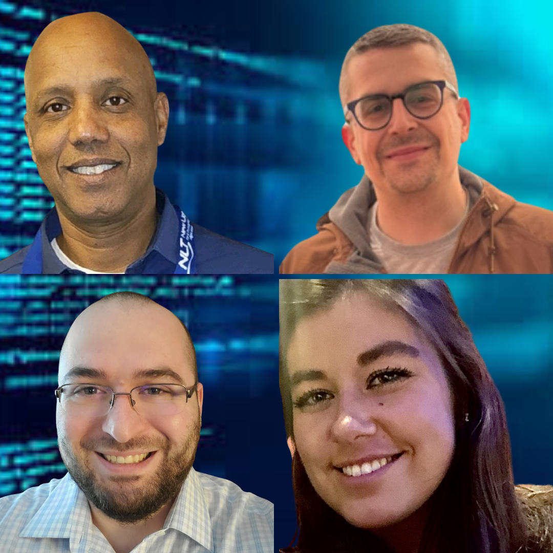
In this feature, we interviewed four outstanding alumni from New Light Technologies, starting with the CEO, Ghermay Araya.
When Araya was looking for a hands-on program to help him further understand geospatial advancements, he discovered the MS GIS program at the University of Maryland. What he also found was a resource for talented, experienced future employees to grow his team.
“Students are drawn to NLT for the opportunity to work on cutting-edge projects involving complex technical challenges. We emphasize mentorship, professional growth and innovation—qualities that attract emerging talent. Our team includes skilled professionals in scientific research, data science, economics, and software and systems engineering, all collaborating to deliver exceptional results for our clients,” Araya said.
Alumni at New Light Technologies
What is a recent project that you have worked on that you have drawn on skills from the MS program?
I’ve worked on various projects that drew on my skills from the MS Program. I recently worked on a project that analyzed tree heights using LIDAR data that drew on my Python and Lidar programming courses in the MS program.
How have the skills you have learned in the MS program helped you progress in your career?
I feel that taking the MS Program gave me further ability to deep-dive and understand the geospatial work our team is doing, contribute meaningfully, and support troubleshooting, debugging, and analytical capabilities.
What drew you to the MS GIS program at Maryland?
Through hands-on lab work, I wanted to gain a deeper understanding of modern geospatial theory and practice.
What advice can you give current and prospective students about the MS program?
Get your hands dirty with the labs, work on them, and you will be better. The MSGIS program courses are modeled similar to project sprints that exist in the workplace and it's a good way to not only work on the projects but generate and deliver project write-ups and presentations effectively.
What recommendations would you make to current students for career and academic success after graduation?
My key recommendation would be to start before graduation. Get involved by volunteering or part-time work if you are not in a position with full-time work.
What are some of your hobbies/interests?
One of my lifelong hobbies is playing live music as a keyboardist or drummer. I also coach soccer to middle school-age players.
Anything else you'd like to add?
Work your network and don’t be afraid to use professional connections in and out of your workplace for input and support.
What is a recent project that you have worked on that you have drawn on skills from the MS program?
My primary customer at New Light Technologies is FEMA's Office of Business, Industry, and Infrastructure Integration, where I support their mission as a GIS Analyst and Scrum Master. I leverage both open-source governmental weather data and proprietary business intelligence to forecast the economic impacts of severe weather events. I often find myself analyzing and interpreting complex data to predict how storms might affect local economies before and after they hit.
The comprehensive toolset and methodologies I developed during my time at the University of Maryland have been instrumental in addressing the analytical challenges that arise in this rapidly evolving field. UMD's rigorous training in spatial analysis, efficient process design and effective project architectures has equipped me to navigate the increasing frequency of climate-induced weather events with agility and precision.
How have the skills you have learned in the MS program helped you progress in your career?
I began focusing on project management for GIS Engineering projects a couple years ago. This type of role requires familiarity with each development area in a project and being conversant in a wide range of GIS technologies. I didn't have much content knowledge regarding GIS, so the UMD GIS Program became a testing bed where I could really wrestle with the foundational concepts and technologies of the industry under the guidance of innovative and experienced faculty. I was able to seamlessly integrate the skills I was learning in the program into my daily work as a consultant.
What drew you to the MS GIS program at Maryland?
I went into the program as an adult learner who worked a full-time job. UMD's evening course schedule made it possible to fit my classes in every week. UMD's hybrid structure and its proximity allowed me the flexibility to learn from home while also commuting to campus in order to make relationships with my classmates, professors and TAs alike.
What advice can you give current and prospective students about the MS program?
Throughout the program, I would scope out my school projects like work projects. I began to understand that the outcome of my class projects didn't need to achieve heroic results. I simply had to show evidence to my teacher of successfully employing the concepts I learned. The best way to ensure they see that evidence is to involve your professors at every stage of a project's development. Let your professor know the direction of your project early and then keep involving them in every step of the process. Take their feedback to heart. Make sure you get to know what they are looking for and the caliber of work that they expect to see from you.
What recommendations would you make to current students for career and academic success after graduation?
The best advice that I received in my career was to never say no to a question that hasn't been asked yet. Always be open to discussing a new opportunity. You are not obligating yourself to anything simply by listening to what a person or organization is looking for. When looking for your next opportunity, it's better to have one or two imperfect open doors in hand, rather than many, many perfect but closed ones.
What are some of your hobbies/interests?
I've identified as a writer (essayist and poet) for the majority of my life. So much so that I decided to study journalism and writing in undergrad. I was delighted to learn the art of making Esri Story Maps during my time at UMD, and I've been able to bring that technology into my creative pursuits, which, ultimately, redefined the creative process of storytelling and meaning-making.
What is a recent project that you have worked on that you have drawn on skills from the MS program?
There have been multiple projects at NLT that have drawn on skills from the MS program. A couple of examples are: working as a contractor for FEMA projects--specifically with the Response Geospatial Geospatial Office (RGO) and the National Business Emergency Operations Center (NBEOC), where I used AGOL, Python, Jupiter as well as various spatial analysis tools to better respond to disasters.
I also worked in the Dengue Fever Forecasting Project utilizing Python scripting and GEE climate variables to create a Dengue forecast model to help local governments implement effective control measures and mitigate the effects of the disease.
What drew you to the MS GIS program at Maryland?
I had a very great experience with my undergrad program in Geographical Sciences/GIS at UMD and wanted to continue my education here. My goal was to get more technical experience in applying geographic knowledge to solve environmental issues.
What advice can you give current and prospective students about the MS program?
My advice would be to engage with the faculty and peers as much as possible. Building these relationships can greatly enhance your learning and professional network. I would also recommend taking a couple courses that are outside of your comfort zone--sometimes that can spike new interests or being able to apply new skills to your resume.
What recommendations would you make to current students for career and academic success after graduation?
Keep in contact with your fellow graduates and former professors. There are a lot of opportunities that can become available by knowing others in your field. I would also suggest consistently taking available courses related to your interests. It is always helpful to stay up to date with the latest GIS/Remote Sensing technology. Additionally, always be open to new opportunities and projects; you may unexpectedly fall into something you truly enjoy and learn a lot through the process.
What are some of your hobbies/interests?
As a geographer at heart, traveling and outdoor activities are a huge part of my hobbies, especially with my dog (my mini Goldendoodle named Crash).
Anything else you'd like to add?
Work your network and don’t be afraid to use professional connections for input.
What is a recent project that you have worked on that you have drawn on skills from the MS program?
Every project that I have worked on has relied on at least one skill from the MS program, but more commonly multiple topics that the program covers are required. For example, in my main project with the Census Bureau, we maintain a collection of data products in PostgreSQL that totals tens of terabytes. We frequently are writing queries for these for testing purposes or composing queries in Python for the application. This project relies on various open source tools, some of which are also covered in the MS program: Shapely, Psycopg2, Open Street Map, Mapserver, Dojo (although, we’re trying to move off this one!), and many more.
How have the skills you have learned in the MS program helped you progress in your career?
I focused heavily on programming while doing my undergraduate and graduate degrees at the University of Maryland, and in programming there is always more to learn, and more to understand at a deeper level. The MS program was very helpful in providing enough information and prerequisite knowledge to build a solid foundation from which to continue self-taught learning and on-the-job learning.
What drew you to the MS GIS program at Maryland?
I started out as a student in Computer Science at Maryland and switched to GIS in undergrad. I enjoyed the undergraduate program, and after a year or so working in the field, I knew I wanted to return to Maryland for the graduate program. The flexibility of the program was a big selling point to me. I completed my master’s while working full time and attending classes remotely, which started at times convenient for having a day job.
What advice can you give current and prospective students about the MS program?
GIS is a very broad field that overlaps with many other topics, and the MS program reflects that breadth. I would suggest focusing on a particular area of GIS (programming, databases, remote sensing, etc.) and become as knowledgeable in it as possible.
What recommendations would you make to current students for career and academic success after graduation?
The MS program is a great resource even after graduation: job postings, recruiting, events, networking, keeping up to date on trends in GIS. Establish methods of keeping current in your area of expertise within GIS, and always be looking to learn and adapt.
Remember that GIS covers a wide range of topics, and exploring those overlapping topics individually can be very valuable. For example, the work that I do is GIS, but there is a long list of invaluable tools, tech and concepts that are not strictly GIS which I rely on regularly. To name a few: Docker/containerization, Kubernetes, AWS/cloud, Linux and shell scripting, test driven development and tooling, WSL/virtualization, web standards and frameworks.
What are some of your hobbies/interests?
I am a huge nerd both at home and work: I am an avid video game player; I enjoy reading about and tinkering with technology; I am big into self-hosting services and game servers for my friends.