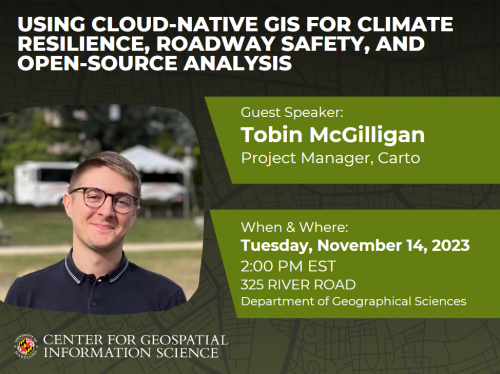
As a part of GEOG Week events, at 2:00 PM (EST) on Tuesday, Nov. 14, Tobin McGilligan, a Project Manager at Carto, will be presenting a talk, "Using Cloud-Native GIS for Climate Resilience, Roadway Safety, and Open-Source Analysis".
For more details, please see the flyer and information below:
Speaker: Tobin McGilligan
In-Person Location: Room 325 River Road
Zoom: https://umd.zoom.us/j/4183830065
Date: Tuesday, Nov 14, 2023
Time: 2:00PM (US Eastern Standard Time)
Title: Using Cloud-Native GIS for Climate Resilience, Roadway Safety, and Open-Source Analysis
Abstract: In this talk, we'll look at how the Hawai'i Department of Transportation is using climate resilience strategies and safety countermeasure impact assessments driven by large volumes of geospatial data. We'll see how their transportation planners use dynamic analyses of 50+ variables to set KPIs to assess climate risks to critical infrastructure assets, and how they leverage distributed computing to quickly ask and answer questions using vehicle telematics data. In the second half of the talk, we'll craft an automatic workflow to query OpenStreetMap data from the Google Cloud Platform, parse it for our features of interest, and analyze and visualize the results.